

MINERVA BC NEWMAN
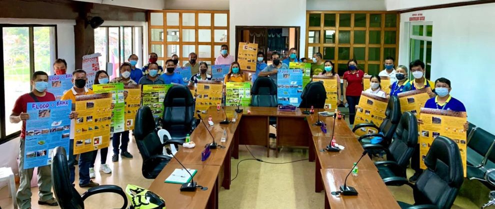
CEBU CITY – Twenty-five local environmental officers, focal persons, DRRM council officers and planning officers; health and social welfare officers, DepEd officials, police and other uniformed men; associations of barangay councils, indigenous peoples’ organizations, women and other local organizations from the towns of Loon, Batuan, and Sierra Bullones in Bohol Province; Sibulan, Negros Oriental; and Alcoy, Cebu are now trained on how to use the Risk Exposure Maps (REMs).
The Mines and Geosciences Bureau (MGB-7)-Geosciences Division conducted this training as the result of its virtual Information, Education, and Communication (IEC) campaign in October this year, its second virtual IEC on Vulnerability and Risk Assessment (VRA) conducted during the pandemic and travel restrictions were imposed.
“The VRA is a continuing program of the MGB related to the geohazard assessment and mapping program of the government. The bureau has been in the forefront of conducting field surveys and assessments to generate information on geological hazards,” MGB7 Regional Director Armando Malicse said.
Malicse said that REMs show the vulnerable areas in each of the local government units. Elements at risk such as population, build up areas, and road networks were considered for the REMs which show each element’s percentage of exposure to landslides and flooding. These are now ready for distribution to the five LGUs in the region.
The final output of the VRA are risk exposure maps which serve as decision-making tools that the local governments can use before and after disaster planning. The information provided by the maps can help reduce damage and prevent casualties that may happen when flooding and landslides occur in an area, Malicse adde.
MGB-7 ensured that the maps are clearly understood by the key personnel on planning and development as well as disaster risk reduction and management at the LGU levels.
MGB-7 Geosciences Division Chief Al Emil Berador thanked the participation and cooperation of the participants from LGUs. Other topics discussed according to Birador included National Geohazard Assessment Program; Presentation of the Updated Geohazard Susceptibility Map; Introduction to VRA Project, Methodology-Risk Exposure Assessment; Presentation of Risk Exposure Maps (REMs), and Gender Issues in a Disaster.